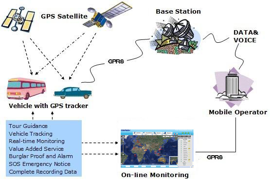
|
Overview |
|
Integrating the
latest GPS technologies with advanced GIS (Geographic Information
System), and GSM/GPRS communications, GOPASS has developed one of
the most comprehensive fleet management solution that enables you to
effectively dispatch, track, and control your fleet of vehicles and
workers.
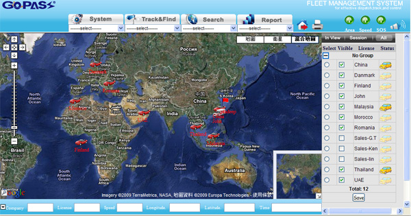
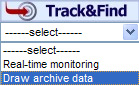
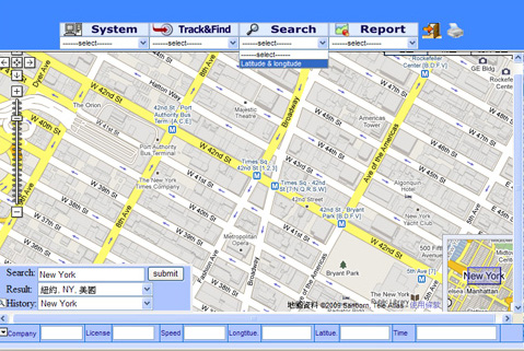
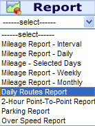
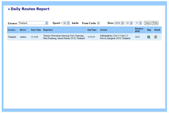
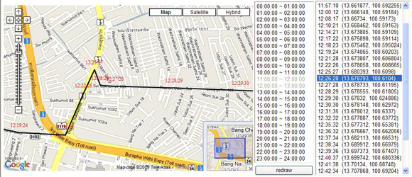
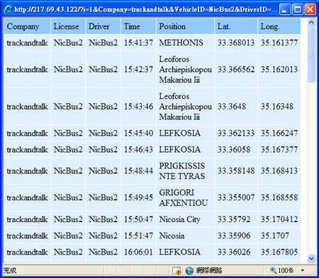
The Fleet Management System provides
you real-time information on the location and the status of your
vehicles & operators. With the information, you can increase the
efficiency, utilization, security and safety of your entire fleet.
|
|
Operation Chart |

|
|

GIS (geographic information
system) is a system for management, analysis, and
display of geographic knowledge, which can produce
information that answers specific questions and allows
you to share the information with others.
The GIS mapping software used for our Fleet
Management System is a
location intelligence
solution, integrating software, data & service to provide greater value from
location-based information, and drive more insightful decisions for businesses
and organizations. It helps customers use location intelligence to enhance
their performance and decisions from asset management, network planning, site
selection, to risk management, and "what's near me" mobile applications.
|